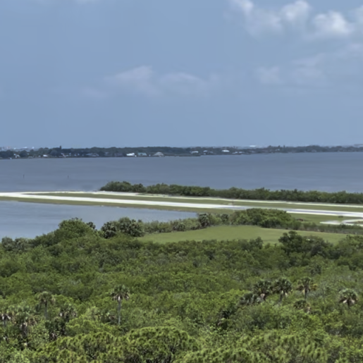
Merritt Island Airport (COI)
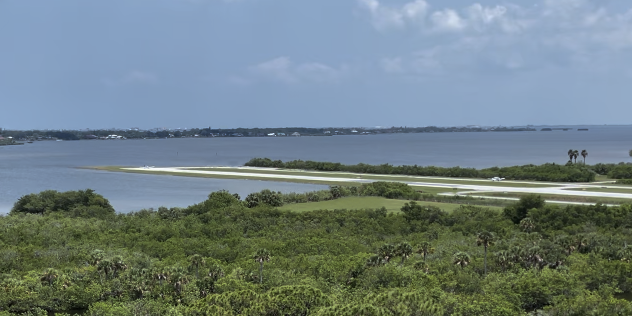

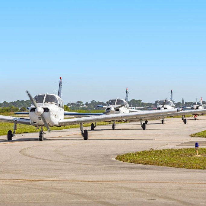
 Merritt Island Airport (COI) is the closest general aviation airport to Cocoa Beach and Port Canaveral. COI provides general aviation and recreational flights, features aircraft charter services, bi-plane rides, banner towing, flight training, aircraft avionics services and aircraft maintenance & sales. Contact us today.
FREQUENCIES
AWOS – 119.025
CTAF – 122.975
RUNWAY
11-29 (3601′ x 75′)
FBO / FUEL / TIE-DOWN INFORMATION
2Fly/Space Coast Aviation: 321.453.2222 | Shell 100LL & Jet A
>COI – Merritt Island Tenants
>COI – Merritt Island Hangar Waitlist
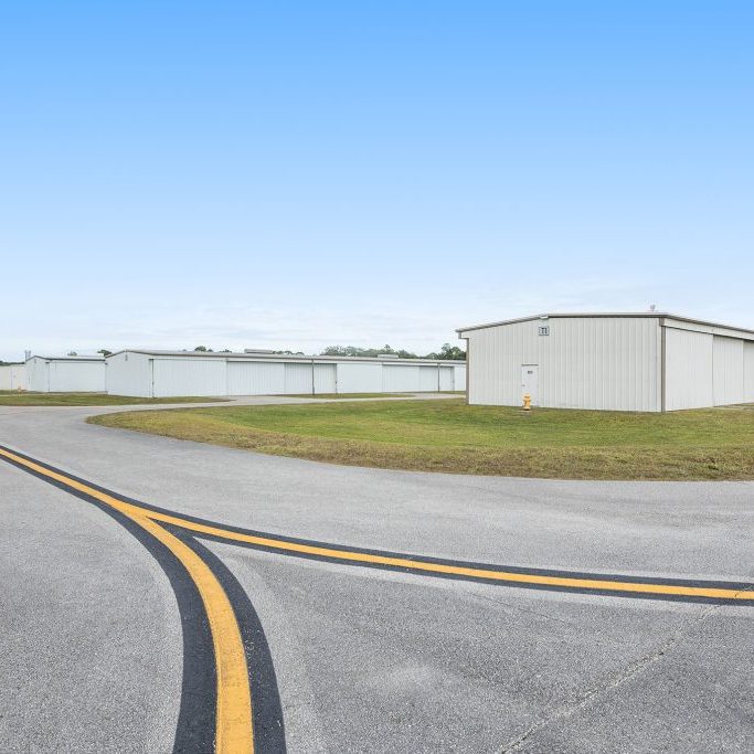
The hangar waitlist is updated for each airport on a monthly basis. For information regarding how to reserve your position on the waitlist, please visit the Hangar Application and Information page, and be sure to review the Hangar Waiting List POLICY prior to completing your waitlist application.
COI waitlist as of April 2024
> COI Diagram
Merritt Island Airport (COI) Diagram
> COI Minimum Standards
> Properties for Lease COI
> COI History
A History of Merritt Island Airport
Merritt Island Airport is a general aviation airport serving the local aviation needs of Merritt Island, Cocoa and the rest of Brevard County, Florida.
Merritt Island Airport is located on the southern peninsula of Merritt Island between the Indian River and the Banana River. The airport’s single runway extends into Newfound Harbor, which is part of the Banana River. In the early 1940’s, the Brevard County Mosquito Control District constructed the Central Brevard Airport. The airfield included two sod landing strips:
- a north-south strip measuring approximately 1,800 feet in length
- a northwest southeast strip measuring approximately 3,000 feet in length
An operations building and maintenance hangar were located on the south side of the airfield. The Mosquito Control District had a maintenance hangar on the north side of the airfield. The north-south landing strip was eventually abandoned. Various facilities including the T-hangars currently occupy this area.
The Brevard County Mosquito Control District deeded the airport property over to the Titusville-Cocoa Airport Authority in exchange for ten acres of land located within Space Coast Regional Airport. This land is currently used by Brevard County as headquarters for the Mosquito Control District.


